About
Geospatial intelligence for environmental modelling, ecosystems, and decision support
Professional Background
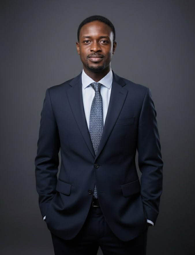
I work with satellite data, environmental systems, and geospatial analysis to understand how landscapes are changing and what that means for decision-making.
My background spans remote sensing, environmental monitoring, and applied modelling. I have worked across research and industry settings, building workflows that move from raw data to something practical, whether that is assessing land use change, monitoring ecosystems, or supporting water and environmental management.
More recently, I have been expanding into GeoAI and scalable geospatial pipelines, with a focus on making analysis reproducible, efficient, and usable beyond academic settings.
Dr. Nii Amarquaye Commey
What I Work On
Water Systems & Environmental Monitoring
- Watershed and subsurface modelling frameworks
- Remote sensing time-series integration
- Isotopic and pollution indicator analysis
- Land use change quantification
Coastal & Wetland Ecosystem Resilience
- Climatic and anthropogenic system stress analysis
- Pollution load modelling
- Wetland restoration strategy
- Nature-based solution assessment
Applied Geospatial Intelligence (GeoAI)
- Google Earth Engine workflows
- Python & R spatial pipelines
- Machine learning classification
- Reproducible environmental analytics
Professional Experience
Research Assistant Professor
University of Yamanashi, Japan
- Designed and implemented watershed-scale models to quantify non-point source pollution, supporting water quality assessment and management decisions
- Integrated hydrological, isotopic, and geospatial datasets to improve understanding of contaminant transport processes across catchments
- Led and mentored graduate researchers, strengthening applied environmental modelling capacity and research output quality
Satellite Data Analysis Engineer
Solafune Inc., Japan
- Built and deployed satellite-based analytics workflows for environmental monitoring using Google Earth Engine and cloud-based geospatial tools
- Developed machine learning pipelines for land use and environmental change detection, improving scalability and automation of analysis
- Translated remote sensing outputs into structured, decision-ready datasets for operational and client-facing applications
- Contributed to production-level geospatial solutions, bridging research-grade methods with real-world deployment
Environmental Consultant & Oceangrapher
ESL Consulting, Ghana
- Delivered environmental monitoring and impact assessments for offshore and coastal projects, supporting regulatory compliance and project approvals
- Conducted field-based biodiversity and ecosystem surveys, translating observations into actionable technical reports for stakeholders
- Collaborated with multidisciplinary teams to assess environmental risk and mitigation strategies across project lifecycles
- Produced clear, decision-oriented reports for government agencies and private sector clients