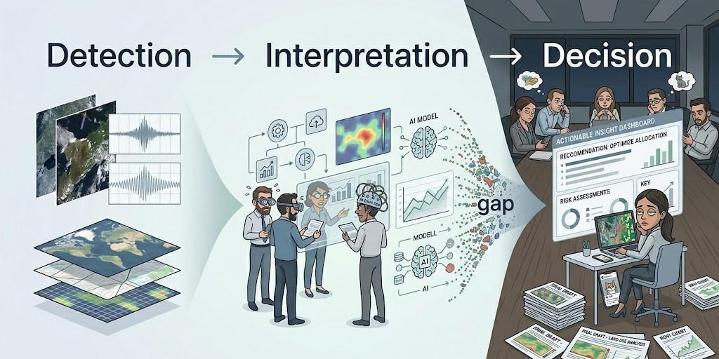
Environmental Intelligence • Decision Support • Remote Sensing
A perfect satellite output has one job: reach a decision-maker.
Most never do.
They sit in shared drives, buried in reports, or diluted into slide decks that are technically sound but operationally ineffective.
This is often framed as a data problem.
It isn't.
It's a failure in the chain between signal and decision.
High-Quality Analysis, Low Operational Traction
Across environmental and planning workflows, a familiar sequence plays out:
Technical teams produce high-quality satellite analyses — land use classifications, change detection outputs, time-series trends, radar-derived anomalies.
These outputs are handed to decision-makers as detailed reports or presentations.
The information is accurate. Comprehensive. Defensible.
The meeting ends with: "we'll follow up."
And in many cases, that follow-up never comes.
Not because the data lacks value — but because its relevance to a decision was never made explicit.
The Signal-to-Decision Gap
Satellite data is powerful because it reveals change early.
It can identify watershed degradation before it becomes visible on the ground, detect land use transitions before formal records exist, and signal emerging climate stress patterns ahead of reporting cycles.
But early signal alone is not enough.
Between detection and decision sits a gap most teams underestimate.
What should be done, and why now?
A radar anomaly, a vegetation shift, or a classification output does not answer the question decision-makers are accountable for.
The Signal-to-Decision Chain
Most environmental workflows implicitly follow a three-step chain:
Analytical Workflow
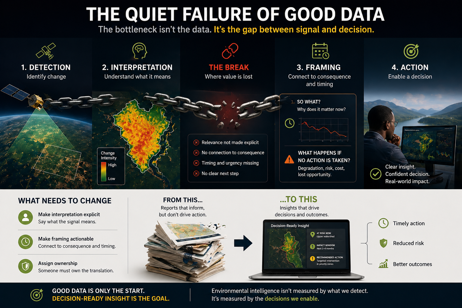
Value is lost when the chain from detection to decision breaks at interpretation and framing.
Detection → Interpretation → Framing
- Detection: identifying change in the landscape
- Interpretation: understanding what that change means
- Framing: connecting that meaning to a decision, with timing and consequence
The remote sensing field has spent the last decade aggressively optimising detection.
Higher resolution. More sensors. Better models.
But interpretation and framing remain inconsistent, informal, and often absent.
That imbalance is where value is lost.
The Real Bottleneck Is Not Technical
The limiting factor is rarely a lack of data or analytical skill.
It is the absence of someone willing to take responsibility for saying:
This is the one thing that matters, and it matters now.
That requires a different kind of confidence — not methodological, but interpretive.
In practice, this means moving from:
"Here is the analysis."
to:
"This area is degrading. It will impact X within Y timeframe. This is the window to act."
Most teams can produce the first. Very few are structured to consistently produce the second.
We Have Optimised the Wrong End
There is a consistent push toward more data, higher resolution imagery, and increasingly sophisticated models.
Those investments are not wrong.
But they assume that better detection will naturally produce better decisions.
It doesn't.
In many cases, it produces more complexity, more caveats, and slower action.
We have invested disproportionately in improving detection, while underinvesting in interpretation and framing.
The ROI gap is widening.
The Missing Ownership Layer
The teams that get this right are not necessarily the ones with the best data.
They are the ones where someone feels ownership of both the analysis and its consequence.
Where interpretation is treated as operational responsibility, not subjective risk.
That role rarely exists formally. It sits between analyst, domain expert, and decision-maker — and because it is undefined, it is often avoided.
What Needs to Change
If teams are serious about building environmental intelligence capacity, the priority is not just better data.
It is strengthening the weakest parts of the chain:
- Making interpretation explicit
- Making framing actionable
- Assigning ownership to both
Because until someone is accountable for translating signal into decision, the analysis — no matter how good — remains unfinished.